Washington Airports
|
 Washington's busiest airport is
the Seattle/Tacoma International Airport.
Other major Washington airports include
the Bellingham International Airport,
the Boeing Field/King County International Airport in Seattle,
the Friday Harbor Airport,
the Pangborn Memorial Airport in Wenatchee,
the Pullman-Moscow Regional Airport in Pullman,
the Roberts Field in Redmond,
the Spokane International Airport,
the Tri-Cities Airport in Pasco,
the Walla Walla Regional Airport,
the William R. Fairchild International Airport in Port Angeles, and
the Yakima Air Terminal/Mcallister Field.
Washington's busiest airport is
the Seattle/Tacoma International Airport.
Other major Washington airports include
the Bellingham International Airport,
the Boeing Field/King County International Airport in Seattle,
the Friday Harbor Airport,
the Pangborn Memorial Airport in Wenatchee,
the Pullman-Moscow Regional Airport in Pullman,
the Roberts Field in Redmond,
the Spokane International Airport,
the Tri-Cities Airport in Pasco,
the Walla Walla Regional Airport,
the William R. Fairchild International Airport in Port Angeles, and
the Yakima Air Terminal/Mcallister Field.
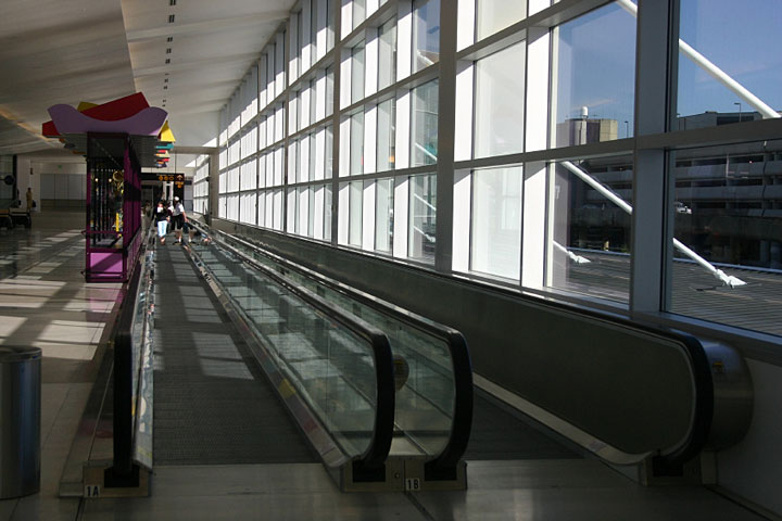
The photo at right shows a moving walkway at SeaTac International Airport.
Interactive Washington Airports Map
This section features an airport locator map that can be zoomed and panned to show the state of Washington and its neighbors or a small region of the state. Use the plus (+) and minus (-) buttons to zoom the map in and out, respectively. Simply swipe or drag the map to pan it in any direction. The airport markers on this Washington map can help travelers find IATA-designated airports in the state and plan their air travel arrangements more efficiently.
FAA Washington Airport Locator Map
This Washington airport map shows FAA-designated commercial service airports, reliever airports, and general aviation airports in the State of Washington. Primary airports are designated with an airplane symbol.

Copyright © State-Maps.org. All rights reserved.
Washington airport map source: FAA 2001-2005 NPIAS.
Washington airport map source: FAA 2001-2005 NPIAS.